

Growing areas and plots
Create areas and add plots per farmer: area, variety, tree count, planting year, monoculture or intercropping.
Web management portalFarmbase has been connected to the Ministry of Agriculture and Environment's agricultural product traceability system since 01/07/2026 Learn more →
10,000 ha Campaign, 2026–2027 season →Manage growing areas, plots, farm diaries and harvests on one platform. Farmers record in Zalo, cooperatives and businesses monitor on the web, and buyers scan a QR code to view the area profile.
Costs depend on the crop, area and scope of work. Send us your needs and we will reply with a quote within 1 working day.
Get a quoteFarmbase platform
The Farmbase solution is co-developed by BVI and Salefronts. Data is recorded once and used by cooperatives, businesses, authorities and buyers alike.
Features
Create areas and add plots per farmer: area, variety, tree count, planting year, monoculture or intercropping.
Web management portalEnter coordinates or use GPS, and the system fills in the plot's cadastral sheet and parcel numbers.
Web management portalRecorded by crop stage: tasks, pests, fertilisers and pesticides, and photo evidence.
Web and ZaloChoose from a catalogue with name, type, active ingredient, dosage and pre-harvest interval.
Web and ZaloFarmers photograph product packaging instead of typing, which suits older users.
Zalo Mini AppAdd a family member's phone number so they can record the diary for the grower.
Zalo Mini AppTrack orchards awaiting harvest, yield, buyers and attached files.
Web and ZaloPlot boundaries on satellite imagery, filtered by crop, province, ward or commune.
Web and ZaloShared photos, documents and videos for the area, shown on the traceability page when the QR code is scanned.
Web and ZaloQR codes for each growing area and each plot. Buyers scan to view, no account needed.
Web and ZaloBulk import plots, diaries and harvests from a template; the system points out rows with errors.
Web management portalCreate accounts by email and assign roles and permissions to each staff member.
Web management portalCommune and ward People's Committees view areas, plots and diary activity in their locality for post-inspection.
Web management portalTrack pending and completed sync with the Ministry of Agriculture and Environment's traceability system, for areas that already have a code.
Web management portalLand use certificate photos are kept for records only and never shown publicly.
Web and ZaloApp screenshots
Real screenshots using sample data. Personal details and plot codes are hidden. Tap an image to enlarge.
Video
Shows farmers how to sign in, view their orchard and keep the farm diary in the Zalo Mini App.
Data flow
Planting area codes are granted by the competent state authorities. BVI provides technical, dossier and traceability-operation support.
In real use
Farmbase data in Dak Lak as of 28/10/2026. Areas managed on the platform are not the same as areas that have a code.
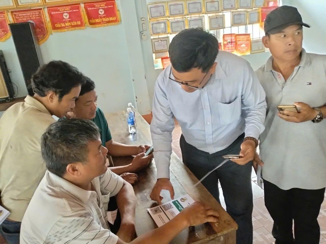
Drone survey, on-site training and guidance for farmers to keep farm diaries on the Zalo Mini App.
A traceability account was handed over to the commune People's Committee on 28/10/2026 to monitor growing areas locally.
Talk to a specialist
A Farmbase specialist learns about your growing areas, scale and goals, then proposes a roadmap and a suitable quote.
We use necessary cookies to make the website work. With your consent, we also use analytics and marketing cookies to understand your needs, serve you better and measure our communication. See ourPrivacy Policy.